Threatened by glaciers, hidden by hills and blessed with water, Pulaskifield exists in a unique location. Why is internet and cellular connectivity so hard? Hills. Why is it so tough to grow a crop? Sea sediments. What comes in abundance? Water.
We live in a post-Mississippian region. Roughly 330 million years ago, during the Paleozoic era, the Kaskaskia Sea ebbed and flowed across Barry County, a very different place. In fact, the area was 10°-20° south of the equator at the beginning of the Mississippian period! With the recession of the sea, Burlington Limestone deposits and fossils were left behind. Glaciers never made it to the Ozarks, but their influences remain in the plants and animals which existed in the cold environment at its front.
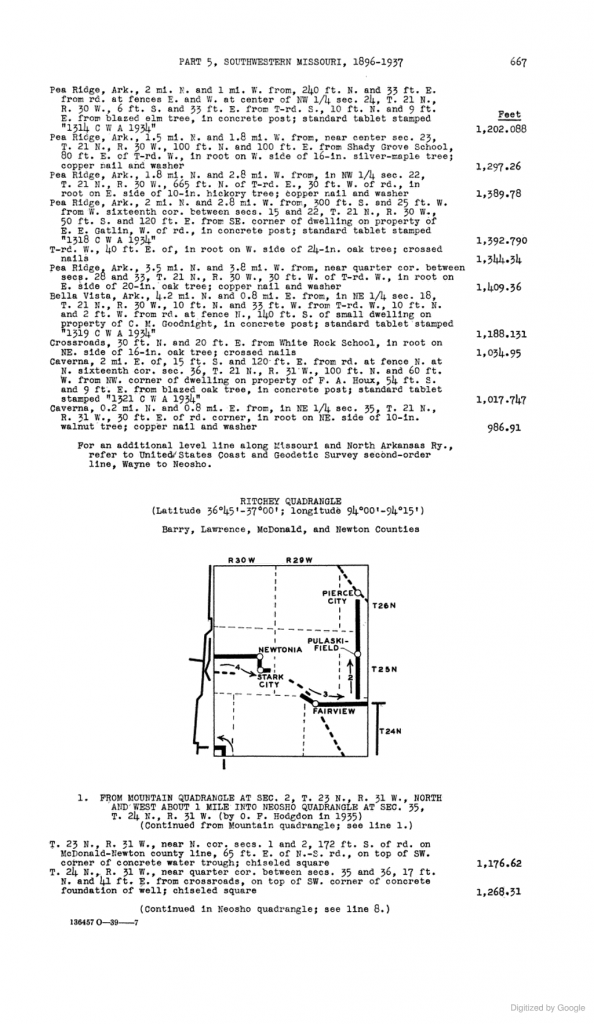
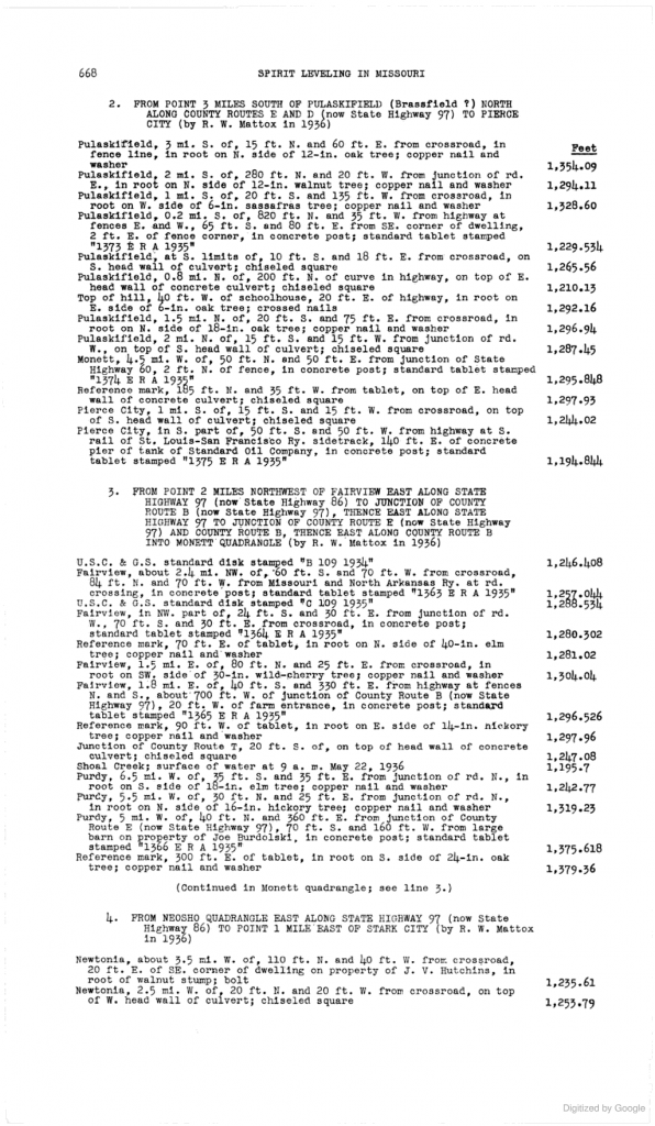
Geologic surveys have been plentiful over the years, performed by private and civil authorities. One such survey, performed by the US Department of the Interior in the early 1930’s, resulted in the publishing of a 170 page bulletin in 1937. It details the elevation adjacent to the highways between Fairview and Pierce City, including Pulaskifield.


